Menu
Check your home's general exposure to flood, wildfire, hurricane, and earthquake risk based on your location.
See a general risk overview for your area. No personal information required.
Important: This tool provides a general, educational risk overview only, based on broad regional patterns. It is not a substitute for an official FEMA flood zone determination or a professional risk assessment specific to your property.
How
This tool provides a general risk overview for flood, wildfire, hurricane, and earthquake exposure based on your state, region type, and proximity to the coastline, using broad, publicly known regional risk patterns.
Natural disaster risk varies significantly even within a single state, and official flood zone determinations, wildfire hazard zones, and seismic risk maps are far more precise than this tool's general overview. Use this as a starting point for understanding whether specialized coverage, such as flood or earthquake insurance, is worth investigating further for your specific property.
The tool does not require personal information and does not replace an official risk assessment.
Factors
Wildfire risk in particular is influenced by how close development sits to wildland vegetation, an area known as the wildland-urban interface.
Areas with a documented history of specific disaster types often continue to carry elevated risk for that same disaster type, since the underlying geographic and climate factors driving past events typically persist.
Low-lying areas face higher flood risk regardless of coastal proximity, while mountain and foothill regions can carry elevated wildfire risk depending on vegetation and climate patterns.
Flood and hurricane risk generally decrease with distance from the coast, though inland flooding from heavy rainfall remains a real risk well beyond immediate coastal areas.
Certain states and regions carry well established elevated risk for specific disaster types, such as hurricane exposure along Gulf and Atlantic coastlines, or wildfire risk in parts of the West.
Why
Official flood zones, wildfire hazard maps, and seismic risk assessments are calculated at a much more granular level than state and region alone. This tool is intended to flag whether further investigation is worthwhile, not to replace that official determination.
When
Using this tool as a starting point, then following up with an official FEMA flood zone lookup or a professional risk assessment, gives you both a quick general picture and the precise information needed to make an actual coverage decision.
Related Tools
Explore our featured tools related to home insurance.
Get a personalised annual premium estimate based on your home's value, location, and coverage level
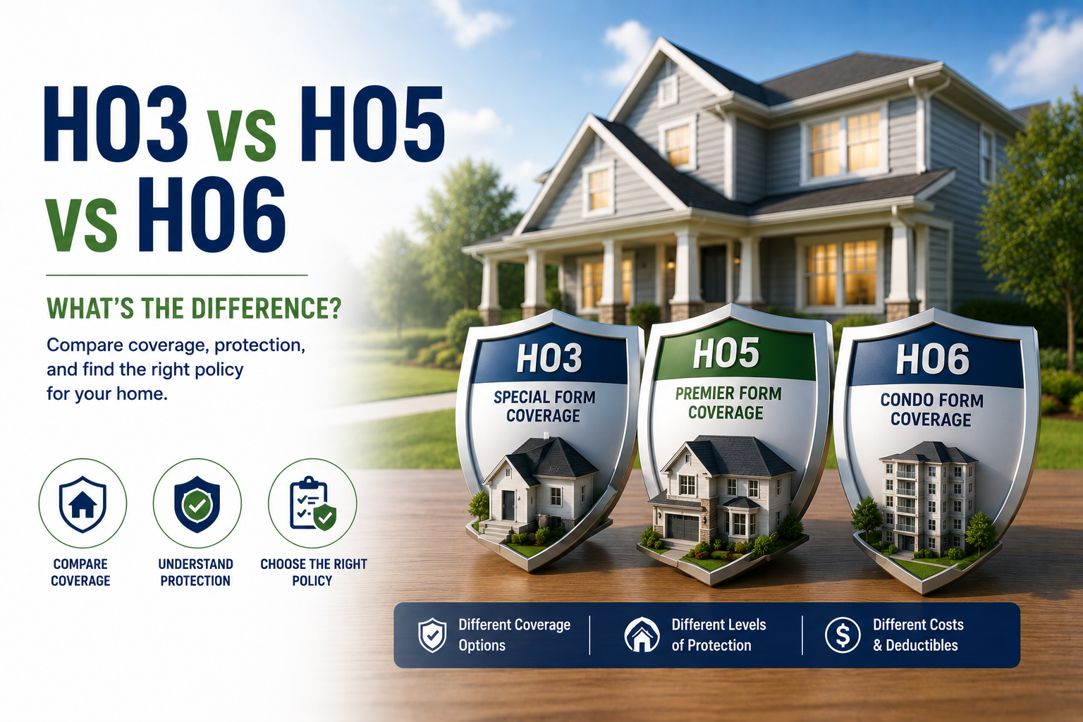
Compare HO-3, HO-5, and HO-6 policies side by side on cost, coverage, and limits.
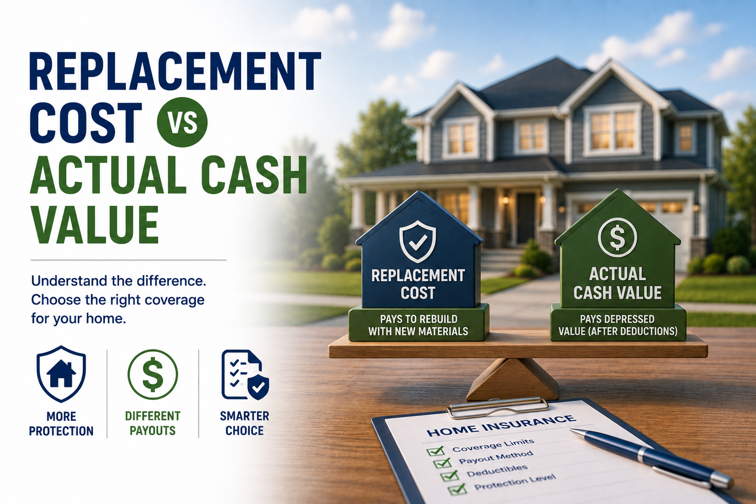
Calculate your home's rebuild cost — the number that should set your dwelling coverage limit, not market value.
Home Insurane Special
The table below illustrates general regional risk patterns for reference. Your specific property's risk depends on precise location, elevation, and official hazard zone determinations.
| Region Type | Flood Risk | Wildfire Risk | Hurricane Risk | Earthquake Risk |
|---|---|---|---|---|
| Coastal (Gulf/Atlantic) | Elevated | Low | Elevated | Low (varies) |
| Coastal (Pacific) | Moderate | Elevated | Low | Elevated |
| Inland Plains | Moderate (flash flood) | Low | Low | Low |
| Mountain/Foothill | Low to Moderate | Elevated | Low | Varies by region |
| Urban/Suburban Inland | Varies by drainage | Low | Low | Varies by region |
Note: These are general regional patterns, not property-specific determinations. Always confirm with an official FEMA flood zone lookup or professional risk assessment.
No. Standard homeowners policies exclude both flood and earthquake damage entirely, regardless of your risk level. Both require separate dedicated coverage, purchased on top of your standard policy.
FEMA maintains official flood zone maps that provide a precise determination for any specific address, which is the authoritative source your lender and insurer will use, rather than a general regional estimate like this tool provides.
If you have a federally backed mortgage and your home is in a FEMA designated high risk flood zone, your lender will typically require flood insurance as a condition of the loan.
No. A meaningful share of flood claims nationally come from outside officially mapped high risk zones, since heavy rainfall and poor drainage can cause flooding well beyond coastal or low-lying areas specifically.
While certain Western states carry well documented elevated wildfire risk, wildfire activity has occurred in a wider range of states in recent years than historical patterns alone would suggest, making it worth checking regardless of region if you’re near wildland vegetation.
If you’re making a significant decision, such as a home purchase or a major coverage change, a professional assessment or official government risk map is worth checking regardless of what a general overview tool suggests, since property-specific factors can meaningfully differ from broad regional patterns.

Related Guides
Looking for more in-depth answers? Explore our latest home insurance guides covering costs, coverage options, policy comparisons, and expert tips.
You may also find these tools helpful:
© 2026 InsuranceBlip. All rights reserved. Website created & managed by Infolytics.